The Architectural form of Brush Strokes – Lauren Wargo
Brush strokes and watercolor smells that travel from Paris, to Budapest, to New York, to Portland. We had a nice chat with Lauren Wargo, who expresses herself with watercolors and maps. Breaking the routines, Wargo was our guest all the way in Istanbul.
What is your favourite city?
Nearly impossible for me to answer! My love of a city lies in the history & characteristics that make each layout unique. I tend to favor places that encompass water, which is certainly reflected in my watercolor map collections.
Have you ever thought of painting people living in cities?
Humanity has sculpted the earth’s surface, molding the structure of cities to fit mankind’s current purpose. I find inspiration in the people that inhabit & breathe life into the cities – so each locale is painted with the intent of representing them.
In regards to literal representation, the scale of the maps I paint typically restrict the addition of people in order to preserve accuracy. If a future opportunity presents itself, the concept is certainly one to keep in mind.
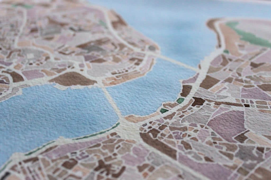
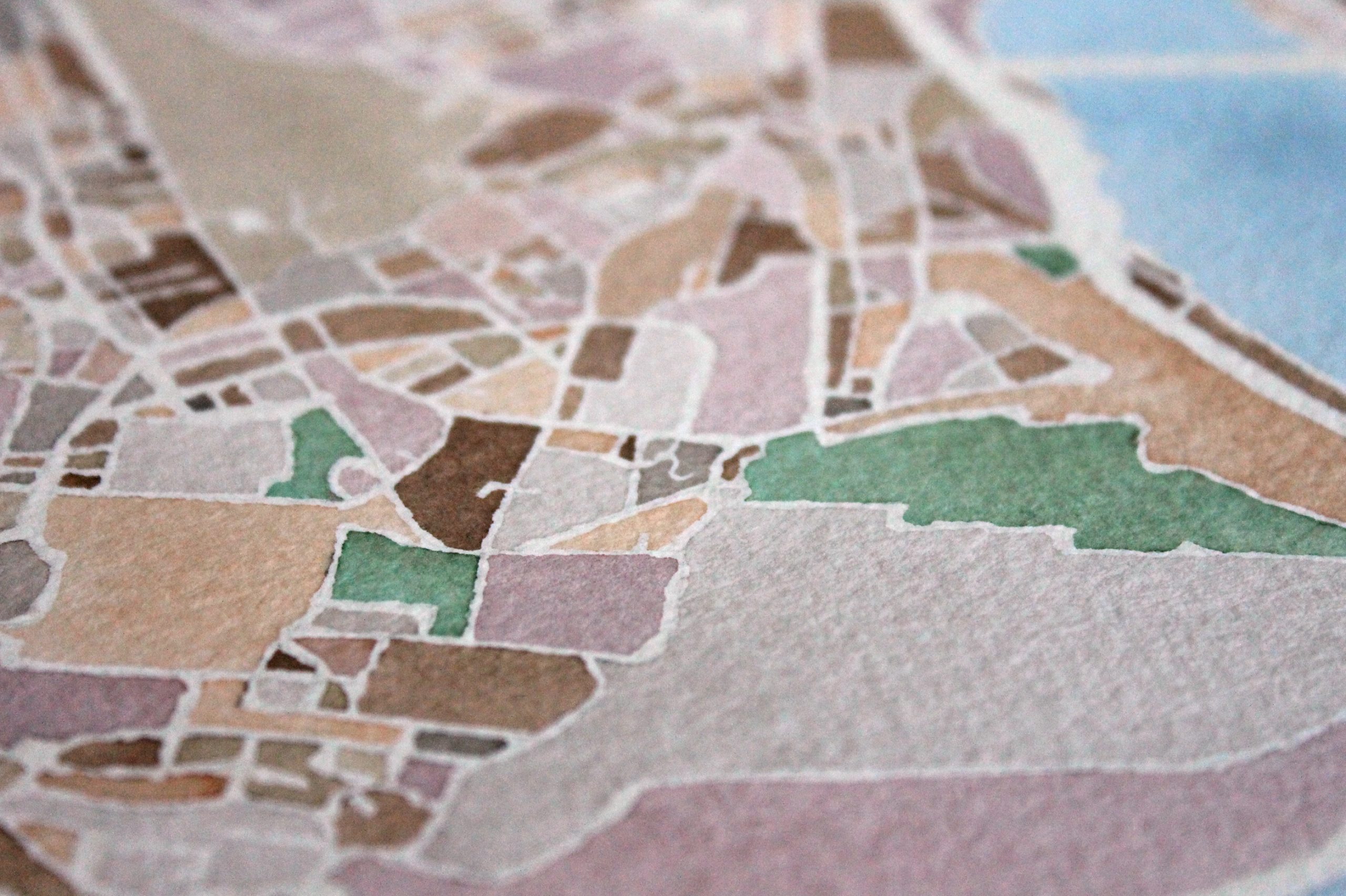
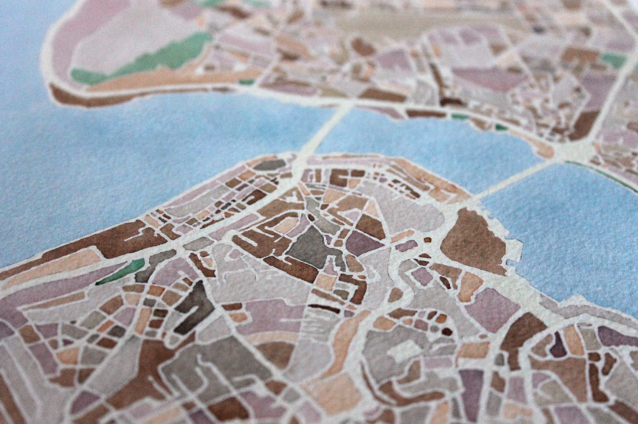
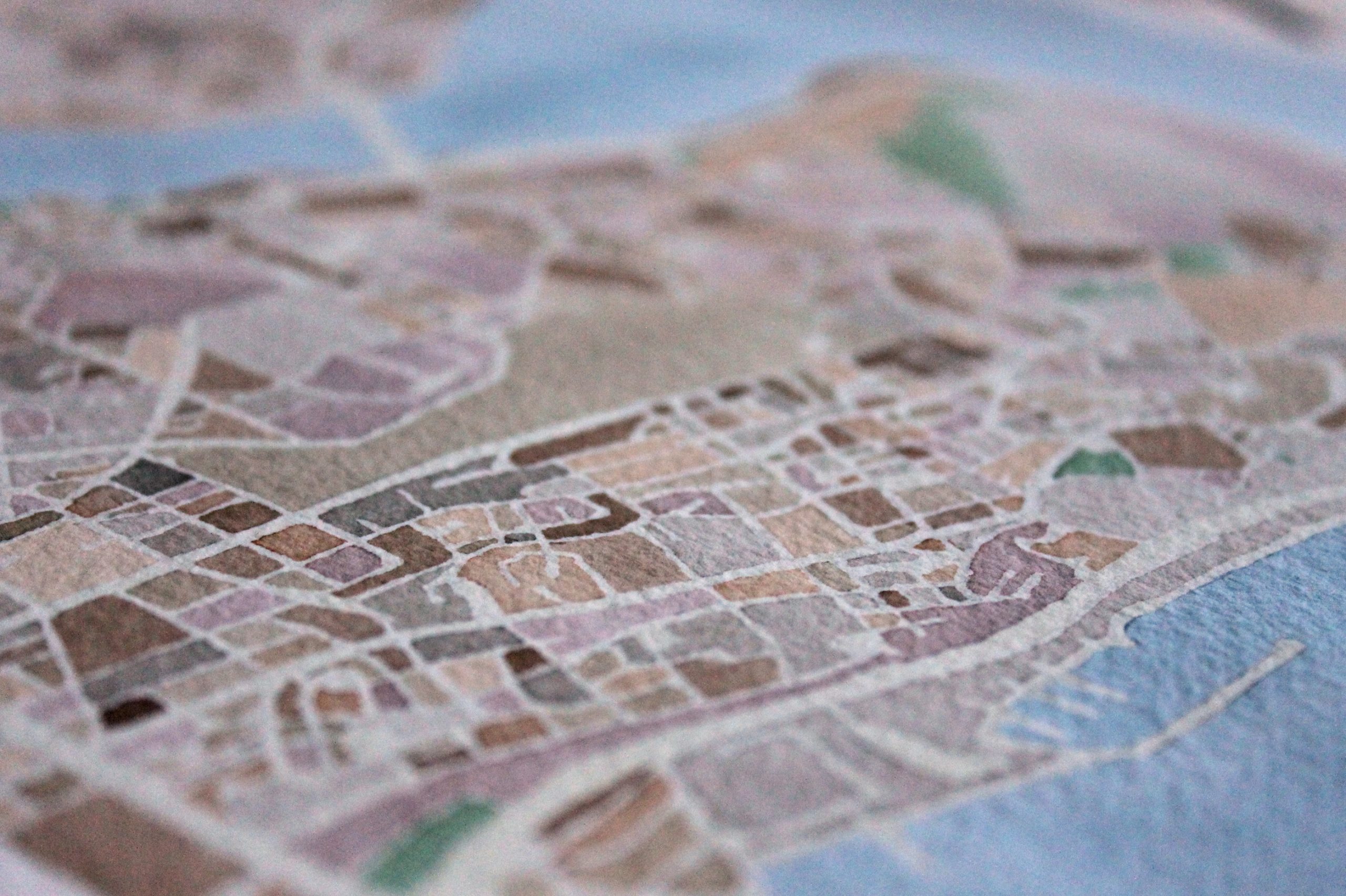
Can you tell us more about your technique?
My process is very organic and distinct to each map created. Prior to paint touching paper, much research is involved – even for locations I’m quite familiar with. I take a closer look at the bare bones of a city structure to identify notable features, which directs the overall constraints & size of the map. The layout is then sketched on watercolor paper. Watercolors are mixed & a color palette is chosen that is unique to both the location and the viewers eye. I then hand-paint each city block and other relevant features.
Technological improvements on things such as GPS, surveillance cameras, interactive maps and satellite imagery of many streets have changed many things massively. How do you regard those shifts?
Specifically regarding interactive maps & satellite imagery, these advancements allow a greater accuracy in the maps I create. I think one deficiency of current interactive maps is the uniformity that exists is not truly reflective of the location being viewed by the user. Another being the amount of information (such as identification of restaurants & retail) available to the user is distracting from the actual city. The map becomes background to these superfluous data points. I think a true locale is discovered when you leave uniformity behind & reveal it’s uniqueness & defining characteristics through simplicity.
Do you discover something new while painting?
Absolutely! I approach each location I paint from an amateur perspective in order to discover and explore the defining attributes of the subject city. This facilitates the creation of a map that provides the viewer another perspective of a locale through a watercolor lens.